

As New Delhi and Washington announced the framework for an interim trade agreement on Saturday, a map of India shared by the Trump administration quietly took centre stage and garnered attention on social media. While releasing the trade deal details, the US trade representative’s office released a map of India showing the entire Jammu and Kashmir, including Pakistan-occupied Kashmir (POK), as part of the country. Moreover, the map also included Aksai Chin, which China claims to be part of its territory.
However, it’s not that the validation of India’s territorial sovereignty required US approval. India has always maintained that Kashmir was an inalienable part of the country.
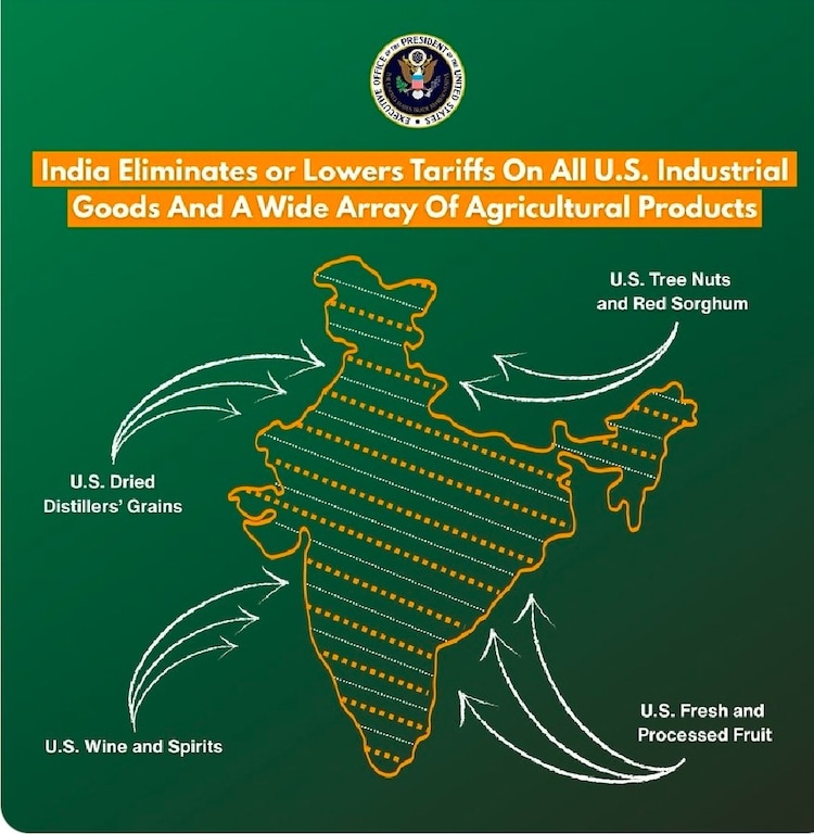
On previous occasions, the maps released by the US or its State Department used to have a clear demarcation of the POK, in line with Pakistan’s concerns. However, the latest map released by the Trump administration clearly thumbs nose at Pakistan’s claims.
– Ends